West Lindsey Council Logo and Masthead

29th September 2006

Find your service:

  1. A
  2. B
  3. C
  4. D
  5. E
  6. F
  7. G
  8. H
  9. I
  10. J
  11. K
  12. L
  13. M
  14. N
  15. O
  16. P
  17. Q
  18. R
  19. S
  20. T
  21. U
  22. V
  23. W
  24. X
  25. Y
  26. Z

Interactive Local Plan Home Page | Written Statement - Subjects | Written Statement - Contents | Proposals Maps | User Guide | Copyright | Legend (in a new window)
You are here: West Lindsey District Council > Local Plan > Maps Index > Inset Map - Hemswell Cliff

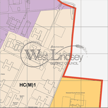
Map inset_33_018
Pan North West
Pan North
Pan North East
Pan West
Pan East
Pan South West
Pan South
Pan South East

Reproduced from Ordnance Survey mapping with the permission of the Controller of H.M. Stationery Office. © Crown copyright. Unauthorised reproduction infringes Crown copyright and may lead to prosecution or Civil Proceedings.
West Lindsey District Council 1000018701 2004
 

West Lindsey District Council Environs

Region Locator Image

Inset Map Overview

Inset Locator Image
Policies STRAT15,STRAT6 Policies STRAT6 Policies STRAT6 Policies STRAT15 Policies STRAT6 Policies STRAT14,STRAT6 Policies STRAT15,STRAT14,STRAT6 Policies STRAT6 Policies STRAT6 Policies STRAT14 Policies STRAT6 Policies CORE9,STRAT6 Policies CORE9

Guildhall, Marshall's Yard, Gainsborough, Lincs, DN21 2NA Tel: 01427 676676 email: customer.services@west-lindsey.gov.uk
End of the page