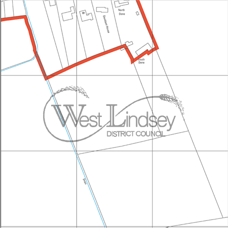
Reproduced from Ordnance Survey mapping with the permission
of the Controller of H.M. Stationery Office. © Crown copyright. Unauthorised
reproduction infringes Crown copyright and may lead to prosecution or Civil
Proceedings.
West Lindsey District Council 1000018701 2004